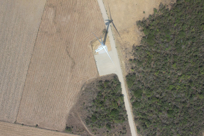
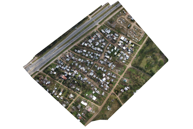
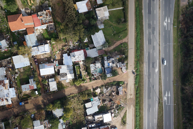
Ortho photo is a uniform-scale photograph and its geometrically corrected photographic map. It is possible to measure directly on it like other maps because it is a uniform scale map. An ortho photo may serve as a base map onto which other map information can be overlaid.
Using UAV photos and flight log, we do ortho rectification following process which includes aligning photos using each image control point,
ground control points and point cloud. Point cloud is processed using UAV images.
Contact : Unit 30, 2nd Floor, Omaxe Celebration Mall Sector-48, Near Subhash Chowk, Sohna Road, Delhi NCR Gurugram, Haryana, India - 122001
Ph: +91-9810818698 | Skype id: geoshot.technologies | Email: [email protected]
© 2024 UAV Data Processing ( A division of Geoshot Technologies ).
Follow us
![]()
![]()
![]()
![]()
![]()