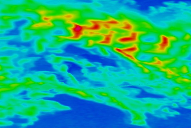
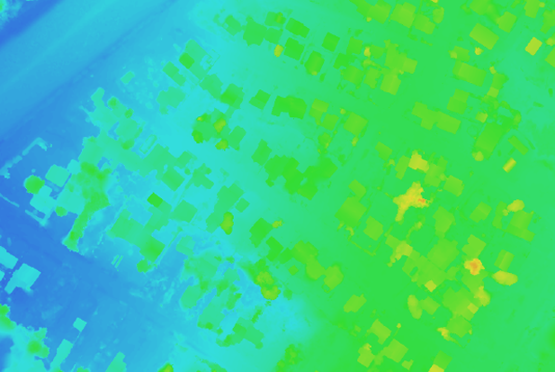
DEM files contain the elevation of the terrain over a specified area, usually at a fixed grid interval over the “Bare Earth". The intervals between each of the grid points will always be referenced to some geographical coordinate system. We generate DEM from UAV images, ground control points, contours and stereo digital aerial photography.
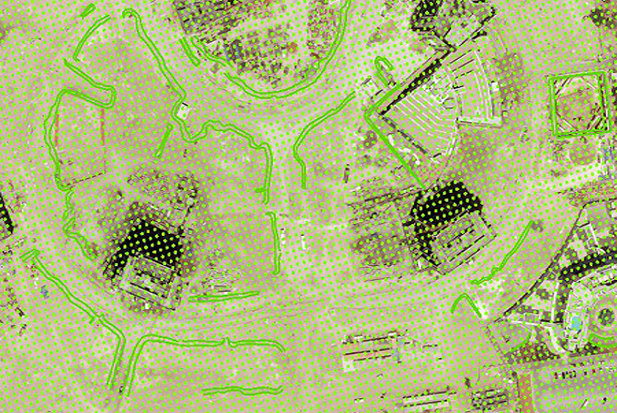
DTM (Digital Terrain model ) can be described as a three dimensional representation of a terrain surface consisting of X, Y, Z coordinates stored in digital form and It includes not only heights and elevations but other geographical elements and natural features such as rivers, ridge lines, etc. Natural features are called break lines.
Aerial Triangulation results generated using UAV images and flight log. Using Aerial Triangulation results and photogrammetric technique, we generate DEM/DTM and DSM

Contact : Unit 30, 2nd Floor, Omaxe Celebration Mall Sector-48, Near Subhash Chowk, Sohna Road, Delhi NCR Gurugram, Haryana, India - 122001
Ph: +91-9810818698 | Skype id: geoshot.technologies | Email: [email protected]
© 2024 UAV Data Processing ( A division of Geoshot Technologies ).
Follow us
![]()
![]()
![]()
![]()
![]()